Our Blog

Explore the latest trends, innovations, and expert insights in drone technology, aerial mapping,
and industry applications to keep your business soaring above the competition.

5 min read

Understanding Aerial Maps: DEMs, Orthomosaics, and Point Clouds Explained

Drone technology has revolutionized how we capture and visualize land. But if you’ve ever received a deliverable labeled “DEMs,” “orthomosaics,” or “point clouds,” you may have found yourself wondering: what exactly do these terms mean—and why do they matter for your project?

Conclusion
5 min read

What Is LiDAR Mapping and Why Does It Matter for Your Project?

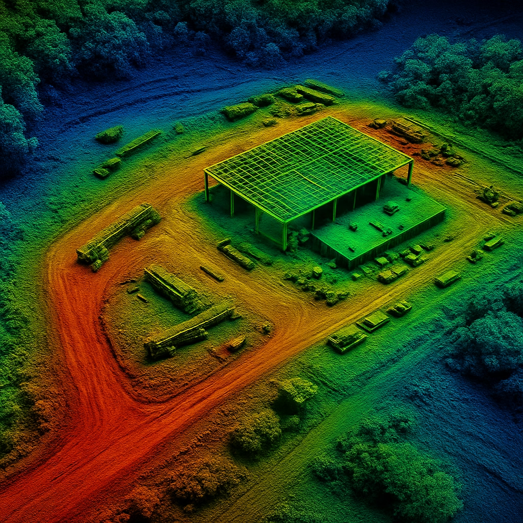
When it comes to land surveying and site planning, precision is everything. Whether you're developing land, planning infrastructure, or analyzing large properties, traditional surveying methods can be slow, expensive, and prone to errors. That’s where LiDAR mapping comes in — a cutting-edge solution that delivers fast, accurate data from above.

Get Started with LiDAR Mapping Today
5 min read

Precision Ag: Using Drone Maps to Improve Crop Yields and Efficiency

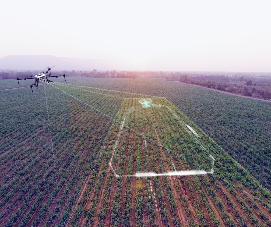
In today’s world of farming, doing more with less isn’t just a goal—it’s a necessity. From rising input costs to unpredictable weather, modern agriculture demands smarter strategies. That’s where precision ag comes in—and drones are playing a key role in making it work.

Conclusion
5 min read

The Importance of Drones in Modern Construction Projects

The construction industry is undergoing a digital transformation—and drones are at the forefront of that change. As job sites become more complex and timelines more demanding, project managers and developers are turning to drone technology for a faster, safer, and more accurate way to manage every stage of construction. From planning and surveying to inspection and progress tracking, drones are proving to be an essential tool on today’s construction sites.

Conclusion

Stay Up to Date

Sign up for our mailing list to receive important updates, special offers, and the latest on drone technology solutions!

Thank you! Your submission has been received!
Oops! Something went wrong while submitting the form.