
Understanding Aerial Maps: DEMs, Orthomosaics, and Point Clouds Explained

11/3/2025
introduction
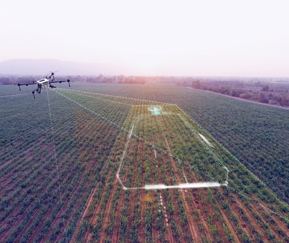
Drone technology has revolutionized how we capture and visualize land. But if you’ve ever received a deliverable labeled “DEMs,” “orthomosaics,” or “point clouds,” you may have found yourself wondering: what exactly do these terms mean—and why do they matter for your project?
In this post, we’ll break down the core types of drone-generated aerial maps and models, explain how they’re used, and help you understand which format is right for your needs.
Orthomosaic Maps
What it is:
An orthomosaic map is a stitched-together, high-resolution aerial image of your site that’s been corrected for distortion (like angle, tilt, and elevation). Think of it as a drone-captured map that’s as precise as a blueprint.
What it's used for:
- Construction site planning and documentation
- Real estate and land marketing
- Agriculture and crop monitoring
- Environmental inspections
- Legal records and permitting support
Why it matters:
Unlike a standard photo, orthomosaics are georeferenced, meaning they align accurately with real-world coordinates. You can zoom in to see centimeter-level detail across your entire site with GPS accuracy.
Digital Elevation Models (DEMs)
What it is:
A DEM is a 3D representation of ground elevation. It strips away vegetation and buildings to show the bare earth terrain, helping identify slopes, valleys, and flat zones.
What it's used for:
- Grading and earthwork planning
- Hydrology and drainage analysis
- Road and infrastructure layout
- Environmental impact assessments
- Floodplain and erosion studies
Why it matters:
DEMs help engineers and planners make informed decisions before breaking ground. They provide the foundation for accurate site design and land use planning.
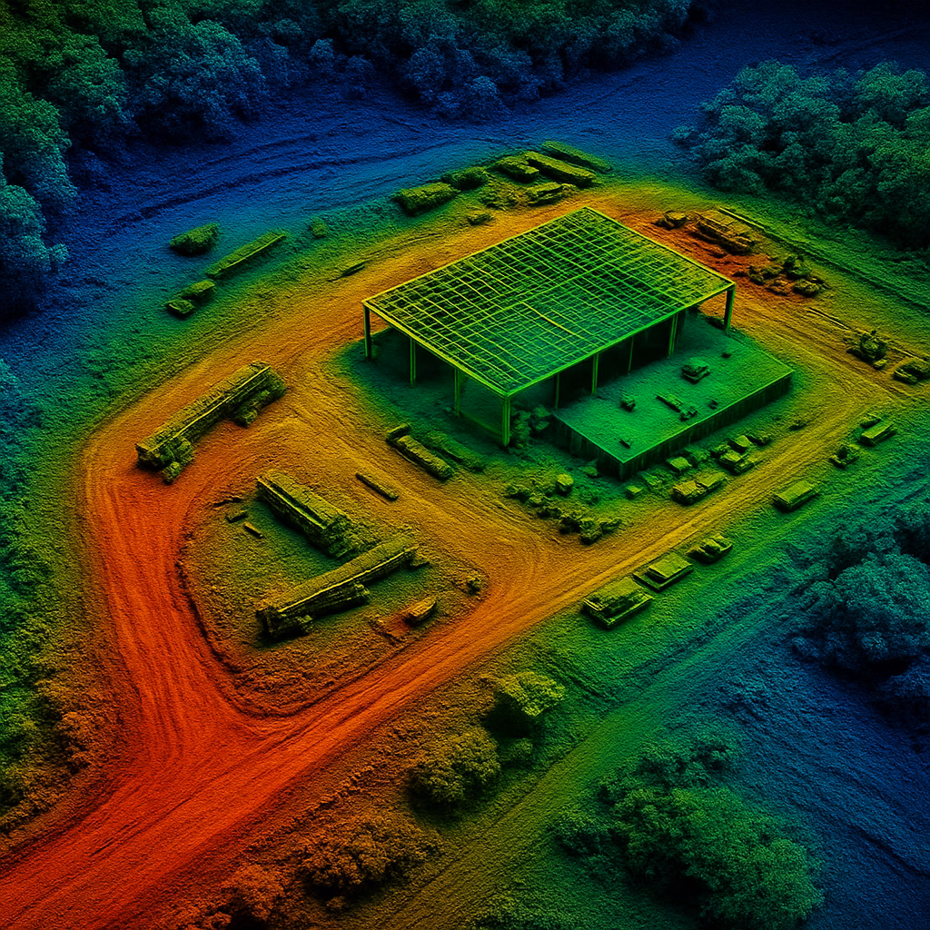
Point Clouds
What it is:
Point clouds are 3D data sets created by LiDAR or photogrammetry. They consist of millions (sometimes billions) of points, each with its own x, y, z coordinate—essentially creating a detailed digital twin of your site.
What it's used for:
- As-built documentation
- Volume measurements (stockpiles, cut/fill)
- 3D modeling and BIM integration
- Structural inspection and planning
- Utility and infrastructure mapping
Why it matters:
Point clouds give you a virtual site walkthrough. They’re especially useful for architects, engineers, and developers who need precise, high-resolution 3D data for advanced analysis and planning.
Which One Do You Need?
Use Case
Marketing & Visuals
Grading or Drainage Design
3D Site Capture
Environmental Surveying
Recommended Output
Orthomosaic
Digital Elevation Model
Point Cloud
DEM + Orthomosaic
Conclusion
At SkyHound, we don’t just fly drones—we deliver decision-ready data. Whether you’re developing land, monitoring a farm, or managing a construction project, we’ll help you choose the right mapping products to get the job done with confidence.
Want to see what this data looks like on your site? Contact us today to schedule a consultation or aerial survey.
other related articles

Get Your Own Drone – Elevate Your Capabilities
Take your operations to the next level with the latest in drone technology. Whether you're looking to capture high-quality aerial data, enhance your workflow, or explore new opportunities, we’ve got the perfect drone for you.