
The Importance of Drones in Modern Construction Projects

10/29/2025
introduction
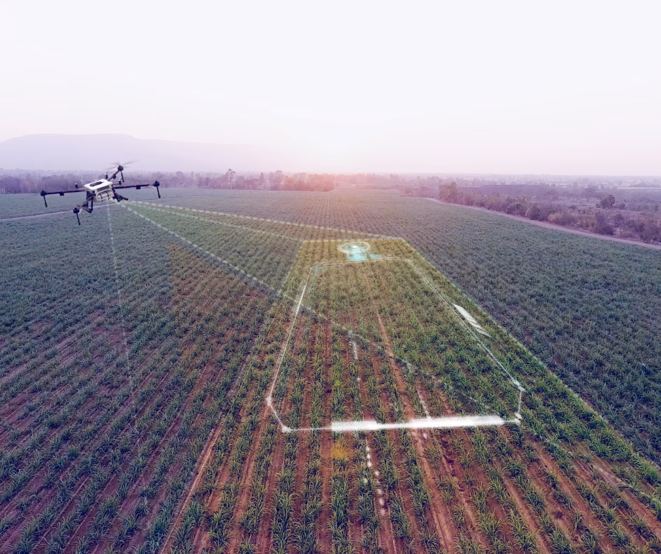
The construction industry is undergoing a digital transformation—and drones are at the forefront of that change. As job sites become more complex and timelines more demanding, project managers and developers are turning to drone technology for a faster, safer, and more accurate way to manage every stage of construction. From planning and surveying to inspection and progress tracking, drones are proving to be an essential tool on today’s construction sites.
Real-Time Progress Tracking
Drones offer a powerful way to monitor a project’s development from start to finish. Regular aerial flyovers provide high-resolution imagery that gives stakeholders a real-time snapshot of the job site. This not only helps identify potential delays before they become major issues, but also offers clear, visual documentation that can be used in client updates, team meetings, and status reports. Progress videos and time-lapse sequences also help build trust with clients and investors.
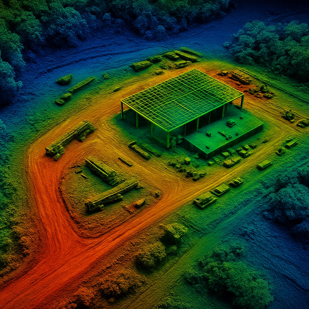
Precision Mapping & Surveying
One of the most impactful uses of drones in construction is for site mapping and land surveying. Drone-mounted cameras and LiDAR systems can collect centimeter-level data for topographical models, contour lines, and volumetric calculations. These outputs are crucial for grading, excavation, drainage planning, and utility layout. Compared to traditional ground-based surveys, drone mapping is significantly faster, more cost-effective, and reduces the need for crews to access dangerous terrain.
Enhanced Safety & Site Access
Job sites are filled with potential hazards—from uneven terrain to multi-story scaffolding. Drones allow teams to safely inspect and document high-risk areas without putting personnel in harm’s way. Inspections that once took hours of manual labor and specialized equipment can now be completed in minutes with the push of a button. This not only improves worker safety but also saves time and labor costs.
Streamlined Communication & Documentation
One of the most overlooked advantages of drones in construction is the improvement in internal and external communication. Visual data makes it easier to align teams, subcontractors, and stakeholders on project progress and site conditions. Drones also support regulatory compliance by capturing before-and-after images, documenting environmental impact, and archiving milestones for future reference.
A Competitive Edge in a Demanding Market
With tight timelines and increased pressure to deliver on time and within budget, adopting drone technology can provide a significant competitive edge. Construction firms that leverage drone data are able to bid more accurately, plan more effectively, and deliver more predictably. And with the ability to integrate drone data into platforms like AutoCAD, GIS, and BIM systems, the transition from data collection to actionable planning is seamless.
Conclusion
At SkyHound, we specialize in drone services tailored specifically for construction needs. Whether you’re looking for recurring aerial documentation, LiDAR-based topographic mapping, or fast, reliable inspection support, our team is here to help you manage your projects with confidence. Drones aren’t just a flashy add-on—they’re a powerful tool for building smarter, safer, and more successfully from the ground up.
other related articles

Get Your Own Drone – Elevate Your Capabilities
Take your operations to the next level with the latest in drone technology. Whether you're looking to capture high-quality aerial data, enhance your workflow, or explore new opportunities, we’ve got the perfect drone for you.